The project aims to develop, improve, and validate environmental indicators capable of summarizing the condition of ecosystems and comparing losses and gains over time and across areas. The approach combines remote sensing data, field data, and models to generate spatially explicit metrics of ecosystem condition to maintain biodiversity and its carbon stocks, aligned with international reporting standards. In addition to defining the indicators, the project evaluates methodologies, analyzes uncertainties, and develops automated tools for data processing and integration, ensuring robust, replicable, and comparable metrics over time and across areas. As a result, it supports ecosystem quality monitoring, decision-making based on spatial intelligence, and transparent environmental performance reporting.
Environmental Indicators
Áreas de interesse da Vale (PA, MG, ES)
Research Group
Environmental Intelligence
Area of activity
Monitoramento Ambiental
Vigência
Jan2026 to Dec2028
Coordinator
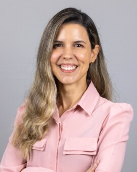
Rosane Cavalcante
PhD in Water Resources and Environmental Sanitation
Researchers
PhD in Environmental Sciences
Master in Computer Science
PhD in Computer Science
PhD in Zoology
Rosane Cavalcante
PhD in Water Resources and Environmental Sanitation
Rosane Cavalcante holds a PhD and a master’s degree in Water Resources and Environmental Sanitation from the Federal University of Rio Grande do Sul (UFRGS), and a degree in Civil Engineering from the Federal University of Alagoas (UFAL). As a researcher at ITV DS, she has experience in water resource management, hydrodynamic modeling, forest hydrology, meteorology, and ecophysiology.
Docente em
Graduate studies
Professional Master’s Degree in Sustainable Use of Natural Resources in Tropical
Projetos relacionados
Projeto
Environmental Indicators
Projeto
Integrated Soil Health Monitoring
Projeto
Hydrological and Climate Risks
Projeto
Technologies for Simulating the Spread of Forest Fires
Projeto
Vale’s inventory of forest carbon emissions and removals
Projeto
DatalakeDS: Data science for sustainable development
Publicações relacionadas
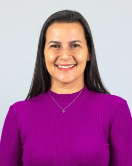
Sâmia Nunes
PhD in Environmental Sciences
Sâmia Nunes holds a PhD in Environmental Sciences from Lancaster University, UK (2016), a master’s degree in Forest Ecosystems from the Luiz de Queiroz College of Agriculture (Esalq/USP), and a degree in Forest Engineering from the Federal Rural University of Amazonia (UFRA). As a researcher at ITV DS and vice-coordinator of the Professional Master’s Degree in Sustainable Use of Natural Resources, she works on forest landscape restoration, public policies, and the application of the Native Vegetation Protection Act.
Docente em
Graduate studies
Professional Master’s Degree in Sustainable Use of Natural Resources in Tropical
Projetos relacionados
Projeto
Environmental Indicators
Projeto
Social and Environmental Business
Projeto
Vale’s inventory of forest carbon emissions and removals
Publicações relacionadas
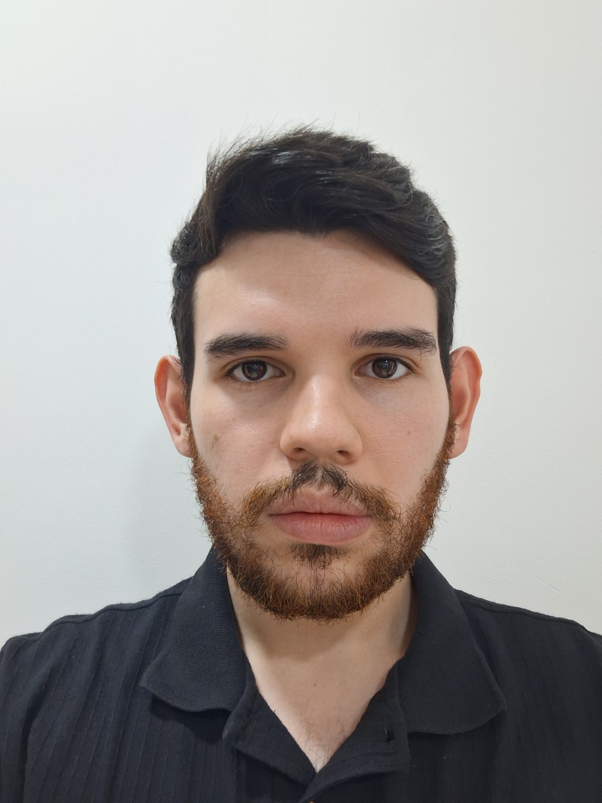
Lucas Cardoso
Master in Computer Science
Lucas Cardoso holds a master’s degree in Computer Science and is currently pursuing a PhD in the same field at the Federal University of Pará (UFPA), where he received the Outstanding Student Award from the Brazilian Computer Society (SBC). As a researcher at ITV DS, he works primarily on projects involving modeling, analysis, and optimization, contributing to scientific and technological advances in the field of computer science.
He has experience in artificial intelligence, machine learning, optimization, and bioinformatics. His academic and research work focuses on the development and application of advanced computing techniques to solve complex problems, combining computational methods with bioinformatics challenges.
Projetos relacionados
Projeto
Environmental Indicators
Publicações relacionadas
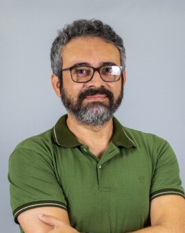
Ronnie Alves
PhD in Computer Science
Ronnie Alves holds a PhD in Computer Science (Artificial Intelligence) from the University of Minho. He is a senior researcher and leader of the Environmental Intelligence group at ITV DS. He has worked as a visiting researcher at international universities and as a postdoctoral fellow at renowned institutions. He is also a permanent professor in the Graduate Program in Computer Science at the Federal University of Pará (UFPA).
Projetos relacionados
Projeto
Environmental Indicators
Projeto
Hydrological and Climate Risks
Projeto
Use of the Carajás Weather Radar
Projeto
Technologies for Simulating the Spread of Forest Fires
Projeto
Monthly Precipitation Forecast for Vale’s Areas of Interest
Projeto
Development of an online analysis and monitoring system for water quality in dams and water dynamics in the area of influence of the Vermelho River over the EFC
Projeto
Molecular research as a tool for biodiversity conservation (Genomics of the Brazilian Biodiversity – GBB)
Projeto
Socio-environmental Data Platform for the Bays of São Marcos and São José, Maranhão
Projeto
DatalakeDS: Data science for sustainable development
Projeto
Cavities – Biological Diversity
Projeto
Biolink – Web platform for aggregating species diversity data in areas of interest to Vale
Projeto
Cavities – Refining Bat Sampling
Publicações relacionadas
Leonardo Trevelin
PhD in Zoology
Leonardo Trevelin holds a PhD in Zoology from the Federal University of Pará / Emílio Goeldi Museum of Pará (UFPA/MPEG), with a sandwich doctorate at the University of Kent. He also holds a master’s degree in Zoology and a bachelor’s degree in Ecology from São Paulo State University (UNESP). As a researcher at ITV DS, he works with landscape ecology and genetics, mammal ecology, forest restoration, and subterranean ecology.
He is a collaborating professor in master’s and graduate programs, with a focus on Chiroptera.
Docente em
Graduate studies
Professional Master’s Degree in Sustainable Use of Natural Resources in Tropical
Projetos relacionados
Projeto
Systematic Reviews and Evaluation of Target Taxa in Licensing Processes
Projeto
Environmental Indicators
Projeto
Offsets in the Araguaia Ferricretes: Characterization and restoration of geoenvironments and their biota to compensate for mining impacts
Projeto
Cavities – Biological Diversity
Projeto
Biodiversity 4.0
Projeto
Integrative assessment of bat population responses to mining activities
Projeto
Cavities – Refining Bat Sampling
Publicações relacionadas